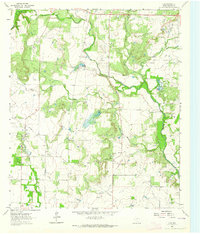
1964 Map of Fisk
USGS Topo · Published 1964About this map
Home Creek and its many winding tributaries define the rural landscape of central Texas in the early 1960s. The small settlement of Fisk serves as a local hub for the surrounding ranching and petroleum country, evidenced by the presence of the Overall Oil Field, Burba Oil Field, and the Davis Bell Oil Field. These energy operations are interspersed among traditional community landmarks like Harmony Ch and the Brown Ranch Cem, which reflect the area's genealogical roots. The terrain is marked by significant watercourse systems including Red Bank Creek and Crooked Creek, which feed into the primary drainages of Bull Creek and Anna Santa Creek. This survey captures the transition from pure ranchland to an active petroleum-producing region, showing the network of pipelines and fence lines that crisscross the Coleman County landscape.
Find a feature on this map
11 named features on this map. Tap any name to fly to it.
Don’t see what you’re looking for? This feature index may not catch every label — zoom into the map to look around manually.
Map Details
Editions of this 1964 Fisk Map
2 editions found
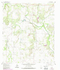
Other maps of this area

1887 · Coleman
USGS Topo · 1:125,000

1889 · Coleman
USGS Topo · 1:125,000

1892 · Ballinger
USGS Topo · 1:125,000

1932 · Voss
USGS Topo · 1:62,500

1954 · Brownwood
USGS Topo · 1:250,000
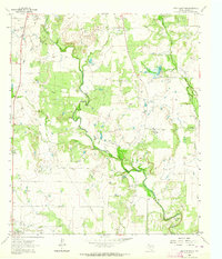
1962 · Speck Mountain
USGS Topo · 1:24,000
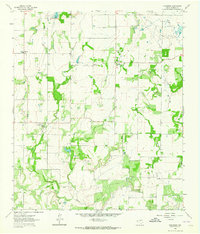
1962 · Gouldbusk
USGS Topo · 1:24,000

1962 · Santa Anna
USGS Topo · 1:24,000
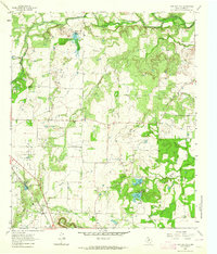
1963 · Lake San Tana
USGS Topo · 1:24,000
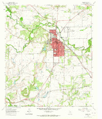
1963 · Coleman
USGS Topo · 1:24,000