
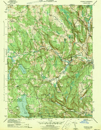
1943 Map of Fitchville
USGS Topo · Published 1943About this map
Gardner Lake and its surrounding hill country dominate this 1940s landscape, where several distinct townships converge. The area is defined by the Yantic River corridor, which supported small industrial hubs like Fitchville and Gilman. The Central Vermont railroad winds through the eastern portion of the map, serving Franklin Sta. This era shows a community structured around rural intersections and topographic landmarks, such as Bourn Hill and Wawecus Hill. Evidence of local heritage is found in the numerous family and church burial grounds, including the Scott Hill Cem and Plains Cem. Numerous summer camps, such as Camp Mooween and Camp Wetona, suggest the region's transition into a seasonal recreation destination during the mid-twentieth century, even as traditional crossroads like Bozrah Street and Avery Corner remained centers of local life.
Find a feature on this map
88 named features on this map. Tap any name to fly to it.
Don’t see what you’re looking for? This feature index may not catch every label — zoom into the map to look around manually.
Map Details
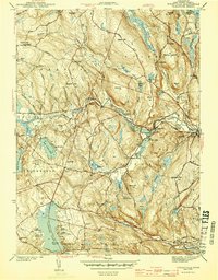
Editions of this 1943 Fitchville Map
3 editions found
Other maps of this area

1892 · New London
USGS Topo · 1:62,500

1892 · Norwich
USGS Topo · 1:62,500

1892 · Gilead
USGS Topo · 1:62,500

1893 · New London
USGS Topo · 1:62,500

1893 · Saybrook
USGS Topo · 1:62,500

1921 · New London
USGS Topo · 1:62,500

1935 · Montville
USGS Topo · 1:24,000

1939 · Montville
USGS Topo · 1:31,680
1941 · Uncasville
USGS Topo · 1:31,680

1944 · Columbia
USGS Topo · 1:31,680