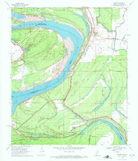
1970 Map of Fitler
USGS Topo · Published 1972About this map
Fitler stands as a primary riverside settlement in this 1970 study of the Delta's shifting landscape along the border of Issaquena County and East Carroll Parish. The Mississippi River dominates the center of the sheet, defined by massive bends that created landforms like Point Lookout and oxbow remnants such as Albemarle Lake and Glory Lake. The terrain is shaped by an extensive Levee system designed to protect the agricultural flats and small rural communities that dot the eastern bank.
Find a feature on this map
28 named features on this map. Tap any name to fly to it.
Don’t see what you’re looking for? This feature index may not catch every label — zoom into the map to look around manually.
Map Details
Editions of this 1970 Fitler Map
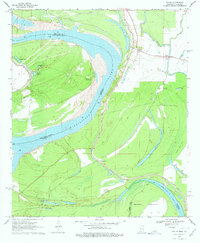
2 editions found
Other maps of this area

1909 · Lake Providence
USGS Topo · 1:24,000

1911 · Lake Providence
USGS Topo · 1:31,680

1939 · Onward
USGS Topo · 1:62,500

1939 · Lorenzen
USGS Topo · 1:62,500

1939 · Alsatia
USGS Topo · 1:62,500

1939 · Mayersville
USGS Topo · 1:62,500

1955 · Jackson
USGS Topo · 1:250,000

1961 · Jackson
USGS Topo · 1:250,000

1962 · Jackson
USGS Topo · 1:250,000

1963 · Onward
USGS Topo · 1:62,500