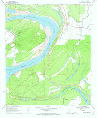
1970 Map of Fitler
USGS Topo · Published 1978About this map
The Mississippi River defines this landscape along the border of Issaquena County and East Carroll Parish, where the river's shifting path has created a complex network of oxbows and backwaters. The protective Levee system sections off fertile lowlands like Goose Lake Flats from the active channel and the Transylvania Chute. This delta environment supported dispersed agricultural communities centered around crossroads like Fitler and Magna Vista, which served as local hubs for the surrounding plantations and river traffic.
Find a feature on this map
28 named features on this map. Tap any name to fly to it.
Don’t see what you’re looking for? This feature index may not catch every label — zoom into the map to look around manually.
Map Details
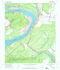
Editions of this 1970 Fitler Map
2 editions found
Other maps of this area

1909 · Lake Providence
USGS Topo · 1:24,000

1911 · Lake Providence
USGS Topo · 1:31,680

1939 · Onward
USGS Topo · 1:62,500

1939 · Lorenzen
USGS Topo · 1:62,500

1939 · Alsatia
USGS Topo · 1:62,500

1939 · Mayersville
USGS Topo · 1:62,500

1955 · Jackson
USGS Topo · 1:250,000

1961 · Jackson
USGS Topo · 1:250,000

1962 · Jackson
USGS Topo · 1:250,000

1963 · Onward
USGS Topo · 1:62,500