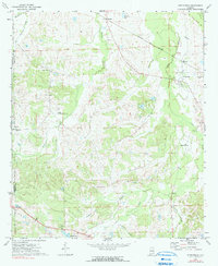
1971 Map of Fitzpatrick
USGS Topo · Published 1991About this map
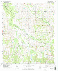
The Central of Georgia Line cuts through the northern landscape of the Montgomery and Bullock County border, anchoring the small community of Fitzpatrick. This 1971 survey reveals a deeply rooted rural society defined by its numerous neighborhood congregations, including Trinity Ch, New Bethel Ch, and Piney Grove Ch. The map provides a unique look at the cultural geography of the region, where the Old Indian Treaty Bdy still marks a significant historical line across the terrain near Mitchell. Waterways like Panther Creek and Johnson Creek drain the area, while contemporary changes are noted at a Dam Under Construction in the west and a Sandpit in the southeast, showing the ongoing modification of the land for local industry and infrastructure.
Find a feature on this map
26 named features on this map. Tap any name to fly to it.
Don’t see what you’re looking for? This feature index may not catch every label — zoom into the map to look around manually.
Map Details
Editions of this 1971 Fitzpatrick Map
2 editions found

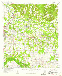
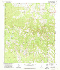
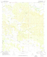
Other maps of this area

1953 · Montgomery
USGS Topo · 1:250,000

1955 · Phenix City
USGS Topo · 1:250,000

1956 · Montgomery
USGS Topo · 1:250,000

1957 · Phenix City
USGS Topo · 1:250,000

1957 · Montgomery
USGS Topo · 1:250,000

1958 · Phenix City
USGS Topo · 1:250,000
1958 · Mount Meigs
USGS Topo · 1:62,500
1971 · China Grove
USGS Topo · 1:24,000
1971 · Hardaway
USGS Topo · 1:24,000
1971 · Thompson
USGS Topo · 1:24,000