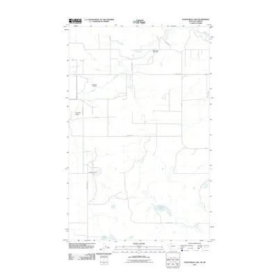
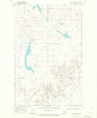
2011 Map of Fitzpatrick Lake
USGS Topo · Published 2011About this map
Red Creek Oil Field and its associated infrastructure define the northern portion of this landscape along the border of Montana and Alberta. The terrain is characterized by prairie drainage systems, including Pearsons Coulee and Fitzpatrick Coulee, which channel water toward the Red River. The southern half of the quadrangle is punctuated by several large basins and water management features, notably Alkali Lake, Grassy Lake, and Fitzpatrick Lake, along with the Ramcharger Dam. The road network is largely industrial and agricultural in nature, with names like Exxon Rd, Santa Rita Rd, and Bunyak Rd indicating the region's historical ties to energy extraction and local ranching families.
Find a feature on this map
17 named features on this map. Tap any name to fly to it.
Don’t see what you’re looking for? This feature index may not catch every label — zoom into the map to look around manually.
Map Details
Editions of this 2011 Fitzpatrick Lake Map
This is the sole edition of this map. No revisions or reprints were ever made.
Other maps of this area

1909 · Cut Bank
USGS Topo · 1:125,000

1912 · Cut Bank
USGS Topo · 1:125,000

1960 · Cut Bank
USGS Topo · 1:250,000

1963 · Cut Bank
USGS Topo · 1:250,000

1964 · Cut Bank
USGS Topo · 1:250,000

1968 · Headlight Butte NE
USGS Topo · 1:24,000
1968 · Hillside Colony
USGS Topo · 1:24,000
1968 · Mountain View School
USGS Topo · 1:24,000
1968 · Fitzpatrick Lake
USGS Topo · 1:24,000
1968 · Glacier Colony
USGS Topo · 1:24,000