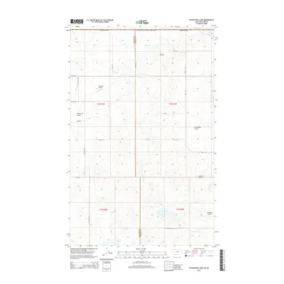
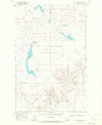
2014 Map of Fitzpatrick Lake
USGS Topo · Published 2014About this map
The Glacier County and Toole County line bisects this portion of the northern Montana plains, just south of the Canadian border. The landscape is defined by the winding course of the Red River and a series of intermittent water bodies including Fitzpatrick Lake, Alkali Lake, and Grassy Lake. This high-plains terrain is etched by numerous coulees, such as Pearsons Coulee and Rocky Ridge Coulee, which provide vital drainage toward the river system.
Find a feature on this map
30 named features on this map. Tap any name to fly to it.
Don’t see what you’re looking for? This feature index may not catch every label — zoom into the map to look around manually.
Map Details
Editions of this 2014 Fitzpatrick Lake Map
This is the sole edition of this map. No revisions or reprints were ever made.
Other maps of this area

1909 · Cut Bank
USGS Topo · 1:125,000

1912 · Cut Bank
USGS Topo · 1:125,000

1960 · Cut Bank
USGS Topo · 1:250,000

1963 · Cut Bank
USGS Topo · 1:250,000

1964 · Cut Bank
USGS Topo · 1:250,000

1968 · Headlight Butte NE
USGS Topo · 1:24,000
1968 · Hillside Colony
USGS Topo · 1:24,000
1968 · Mountain View School
USGS Topo · 1:24,000
1968 · Fitzpatrick Lake
USGS Topo · 1:24,000
1968 · Glacier Colony
USGS Topo · 1:24,000