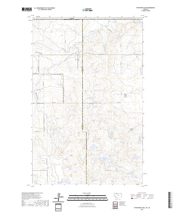
2024 Map of Fitzpatrick Lake
USGS Topo · Published 2024About this map
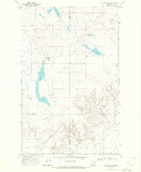
Fitzpatrick Lake and the northern border between the United States and Canada define this section of the High Plains on the boundary of Toole and Glacier counties. The landscape is characterized by its distinct hydrography and drainage patterns, with the Red River flowing through the northern portion while numerous coulees, such as Pearsons Coulee and Treadwell Coulee, carve through the terrain. These features illustrate the natural runoff systems of the Montana prairie.
Find a feature on this map
24 named features on this map. Tap any name to fly to it.
Don’t see what you’re looking for? This feature index may not catch every label — zoom into the map to look around manually.
Map Details
Editions of this 2024 Fitzpatrick Lake Map
This is the sole edition of this map. No revisions or reprints were ever made.
Other maps of this area

1909 · Cut Bank
USGS Topo · 1:125,000

1912 · Cut Bank
USGS Topo · 1:125,000

1960 · Cut Bank
USGS Topo · 1:250,000

1963 · Cut Bank
USGS Topo · 1:250,000

1964 · Cut Bank
USGS Topo · 1:250,000

1968 · Headlight Butte NE
USGS Topo · 1:24,000
1968 · Hillside Colony
USGS Topo · 1:24,000
1968 · Mountain View School
USGS Topo · 1:24,000
1968 · Fitzpatrick Lake
USGS Topo · 1:24,000
1968 · Glacier Colony
USGS Topo · 1:24,000