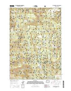
2014 Map of Five Hundred Flat
USGS Topo · Published 2014About this map
Malhuer National Forest terrain dominates this high-elevation landscape in Grant County, characterized by a complex network of forest development roads and numerous named water sources. The namesake Five Hundred Flat and nearby Grasshopper Flat provide relatively level ground amidst the ridges and drainages that define the area. The map reveal a water-dependent environment for local wildlife and forestry operations, with distinct points like The Potholes, Gilbert Ridge Spring, and Lemeer Spring scattered across the topography.
Find a feature on this map
42 named features on this map. Tap any name to fly to it.
Don’t see what you’re looking for? This feature index may not catch every label — zoom into the map to look around manually.
Map Details
Editions of this 2014 Five Hundred Flat Map
This is the sole edition of this map. No revisions or reprints were ever made.
Other maps of this area

1955 · Burns
USGS Topo · 1:250,000

1955 · Canyon City
USGS Topo · 1:250,000

1958 · Burns
USGS Topo · 1:250,000

1959 · Burns
USGS Topo · 1:250,000

1959 · Canyon City
USGS Topo · 1:250,000

1959 · West Myrtle Butte
USGS Topo · 1:62,500

1959 · Sawtooth Creek
USGS Topo · 1:62,500

1961 · Logdell
USGS Topo · 1:62,500

1961 · Izee
USGS Topo · 1:62,500

1981 · Dayville
USGS Topo · 1:100,000