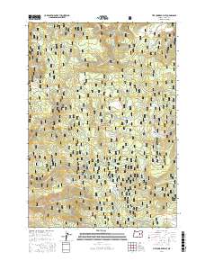
2017 Map of Five Hundred Flat
USGS Topo · Published 2017About this map
Malheur National Forest dominates this section of Grant County, Oregon, revealing a landscape defined by its high-elevation flats and intricate drainage systems. The namesake Five Hundred Flat and nearby Grasshopper Flat provide relatively level ground amidst a complex network of seasonal and perennial waters. These include Scotty Creek and its various forks, alongside named landmarks like The Potholes and Sand Mountain.
Find a feature on this map
49 named features on this map. Tap any name to fly to it.
Don’t see what you’re looking for? This feature index may not catch every label — zoom into the map to look around manually.
Map Details
Editions of this 2017 Five Hundred Flat Map
This is the sole edition of this map. No revisions or reprints were ever made.
Other maps of this area

1955 · Burns
USGS Topo · 1:250,000

1955 · Canyon City
USGS Topo · 1:250,000

1958 · Burns
USGS Topo · 1:250,000

1959 · Burns
USGS Topo · 1:250,000

1959 · Canyon City
USGS Topo · 1:250,000

1959 · West Myrtle Butte
USGS Topo · 1:62,500

1959 · Sawtooth Creek
USGS Topo · 1:62,500

1961 · Logdell
USGS Topo · 1:62,500

1961 · Izee
USGS Topo · 1:62,500

1981 · Dayville
USGS Topo · 1:100,000