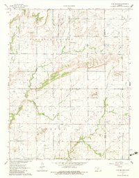
1963 Map of Five Mounds
USGS Topo · Published 1983About this map
Old Indian Treaty Boundary bisects this Kansas landscape, marking a historical line through Pleasant Valley and Chetopa townships. The map documents an area defined by its prominent landforms, including the cluster of Five Mounds, Dewey Mound, and Three Mounds. These elevations rise above the drainage basins of Pumpkin Creek and Big Cedar Creek, where rural community life centered around landmarks like Pleasant Valley Ch and its neighboring Pleasant Valley Cem. Small-scale industrial activity is evident throughout the region, with numerous Oil Wells, a Quarry, and a Gravel Pit scattered across the countryside. The presence of Crane Cem near the eastern border further highlights the established family settlements that shaped this portion of Wilson and Neosho counties during the early 1960s.
Find a feature on this map
21 named features on this map. Tap any name to fly to it.
Don’t see what you’re looking for? This feature index may not catch every label — zoom into the map to look around manually.
Map Details
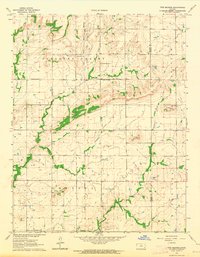
Editions of this 1963 Five Mounds Map
2 editions found
Other maps of this area

1886 · Fredonia
USGS Topo · 1:125,000

1886 · Iola
USGS Topo · 1:125,000

1886 · Independence
USGS Topo · 1:125,000

1886 · Parsons
USGS Topo · 1:125,000

1893 · Iola
USGS Topo · 1:125,000

1893 · Parsons
USGS Topo · 1:125,000

1894 · Fredonia
USGS Topo · 1:125,000

1894 · Independence
USGS Topo · 1:125,000

1904 · Iola
USGS Topo · 1:125,000

1905 · Independence
USGS Topo · 1:125,000