Loading...
Loading map...1968 Map of Five Points
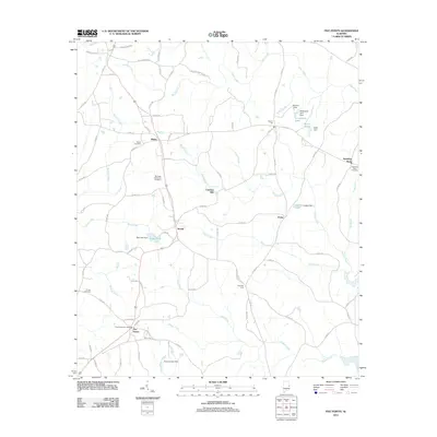
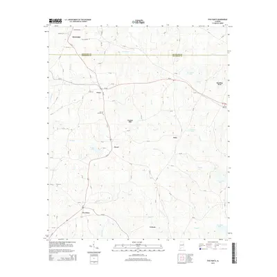
USGS Topo · Published 1983About this map
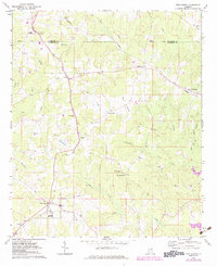
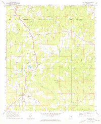
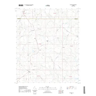
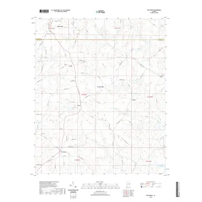
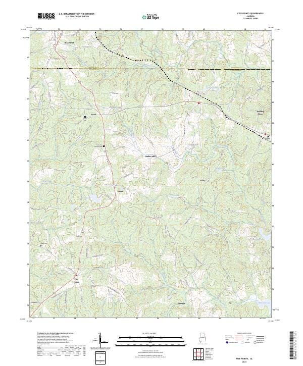
Five Points serves as a focal point in this portion of the Chambers County landscape during the late 1960s, with updates reflecting the area into the early 1980s. The region is characterized by a network of rural settlements and community landmarks, including Welch, Stroud, and Hickory Flat. For genealogists and local historians, the sheet preserves the location of numerous country churches such as Cannan Ch, Bethel Ch, and Sweet Home Ch.
Find a feature on this map
35 named features on this map. Tap any name to fly to it.
Don’t see what you’re looking for? This feature index may not catch every label — zoom into the map to look around manually.
Map Details
Date Portrayed1968
Date Published1983
PublisherU.S. Geological Survey
Map TypeTopographic
Scale1:24,000
Physical Dimensions22 x 26.9 inches
Editions of this 1968 Five Points Map
2 editions found
Historical Maps of Roanoke Through Time
6 maps found
Featured Locations
Source Details
SourceU.S. Geological Survey
CopyrightPublic Domain