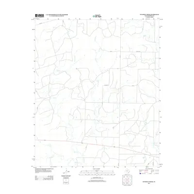
2012 Map of Fivemile Creek
USGS Topo · Published 2012About this map
Fivemile Creek cuts a north-south path through this portion of Borden County, defining a landscape shaped by intermittent drainage and rural ranch access. The map reveals a highly structured grid of private and county roads, including Miller Rd, Gray Rd, and Wicker Rd, which connect isolated homesteads across the Texas plains. A complex network of local waterways, such as Bull Creek and Crooked Creek, feed into the larger basins, illustrating the vital role of natural drainage in this arid environment. The presence of numerous numbered private roads like P-4210 and P-4181 suggests a landscape dominated by large landholdings and limited public thoroughfares, typical of the region's ranching heritage in the early 21st century.
Find a feature on this map
19 named features on this map. Tap any name to fly to it.
Don’t see what you’re looking for? This feature index may not catch every label — zoom into the map to look around manually.
Map Details
Editions of this 2012 Fivemile Creek Map
This is the sole edition of this map. No revisions or reprints were ever made.
Other maps of this area

1951 · Ira NW
USGS Topo · 1:24,000

1954 · Big Spring
USGS Topo · 1:250,000

1958 · Big Spring
USGS Topo · 1:250,000

1969 · Gail NE
USGS Topo · 1:24,000

1969 · Arah
USGS Topo · 1:24,000

1969 · Beal Hollow
USGS Topo · 1:24,000

1969 · Fluvanna
USGS Topo · 1:24,000

1969 · Gail
USGS Topo · 1:24,000
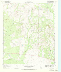
1969 · Fivemile Creek
USGS Topo · 1:24,000

1970 · Mushaway Peak
USGS Topo · 1:24,000