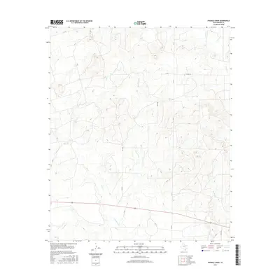
2016 Map of Fivemile Creek
USGS Topo · Published 2016About this map
Fivemile Creek cuts through this rural landscape of Borden County, defining a region where dry creek beds and ranch roads create a distinct western Texas pattern. The drainage network is dense for such an arid environment, with Bull Cr and Crooked Cr feeding into the central basin. This 2016 survey illustrates the modern configuration of local infrastructure, where long-established routes like Four Mile Rd and Miller Rd follow the section lines of the survey grid. The eastern edge of the map features the upper reaches of Gavett Cr and its tributary E Gavett Cr, while Red Mud Cr appears in the southeast. This document is a clear record of the high plains topography and the enduring rural road system that supports the local ranching economy.
Find a feature on this map
20 named features on this map. Tap any name to fly to it.
Don’t see what you’re looking for? This feature index may not catch every label — zoom into the map to look around manually.
Map Details
Editions of this 2016 Fivemile Creek Map
This is the sole edition of this map. No revisions or reprints were ever made.
Other maps of this area

1951 · Ira NW
USGS Topo · 1:24,000

1954 · Big Spring
USGS Topo · 1:250,000

1958 · Big Spring
USGS Topo · 1:250,000

1969 · Gail NE
USGS Topo · 1:24,000

1969 · Arah
USGS Topo · 1:24,000

1969 · Beal Hollow
USGS Topo · 1:24,000

1969 · Fluvanna
USGS Topo · 1:24,000

1969 · Gail
USGS Topo · 1:24,000
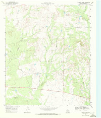
1969 · Fivemile Creek
USGS Topo · 1:24,000

1970 · Mushaway Peak
USGS Topo · 1:24,000