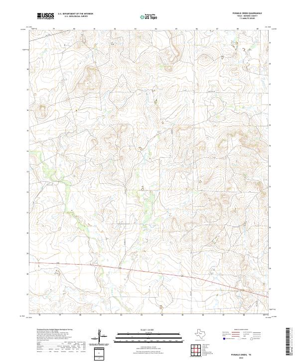
2022 Map of Fivemile Creek
USGS Topo · Published 2022About this map
Fivemile Creek and its complex network of seasonal tributaries define this section of the West Texas plains in Borden County. The landscape is characterized by a series of drainages, including Bull Creek and Crooked Creek, which have carved subtle relief into the terrain over generations. These waterways are essential features in an area dominated by large-scale ranching and land management, where water sources dictated the placement of early infrastructure.
Find a feature on this map
20 named features on this map. Tap any name to fly to it.
Don’t see what you’re looking for? This feature index may not catch every label — zoom into the map to look around manually.
Map Details
Editions of this 2022 Fivemile Creek Map
This is the sole edition of this map. No revisions or reprints were ever made.
Other maps of this area

1951 · Ira NW
USGS Topo · 1:24,000

1954 · Big Spring
USGS Topo · 1:250,000

1958 · Big Spring
USGS Topo · 1:250,000

1969 · Gail NE
USGS Topo · 1:24,000

1969 · Arah
USGS Topo · 1:24,000

1969 · Beal Hollow
USGS Topo · 1:24,000

1969 · Fluvanna
USGS Topo · 1:24,000

1969 · Gail
USGS Topo · 1:24,000
1969 · Fivemile Creek
USGS Topo · 1:24,000

1970 · Mushaway Peak
USGS Topo · 1:24,000