
2011 Map of Fivemile Ridge
USGS Topo · Published 2011About this map
Panguitch Municipal Airport serves as a lone point of modern utility amidst the high-elevation drainage systems of southern Utah. The terrain is defined by the prominent Fivemile Ridge and the dual summits of Twin Peaks, which overlook a network of seasonal watercourses and spring-fed canyons. The landscape is deeply carved by drainage systems like Panguitch Creek and Butler Creek, while historical land use is suggested by descriptive local names such as Wagon Box and White Rocks. Access is primarily facilitated by rugged routes like Little Valley Rd, winding through numerous hollows including Indian Hollow and Schumake Hollow. This survey captures a region where high-country ranching and aviation intersect with the difficult geography of the Twin Peaks Canyon area.
Find a feature on this map
30 named features on this map. Tap any name to fly to it.
Don’t see what you’re looking for? This feature index may not catch every label — zoom into the map to look around manually.
Map Details
Editions of this 2011 Fivemile Ridge Map
This is the sole edition of this map. No revisions or reprints were ever made.
Other maps of this area

1886 · Kanab
USGS Topo · 1:250,000

1953 · Cedar City
USGS Topo · 1:250,000

1958 · Cedar City
USGS Topo · 1:250,000

1958 · Panguitch Lake
USGS Topo · 1:62,500

1962 · Cedar City
USGS Topo · 1:250,000

1966 · Hatch
USGS Topo · 1:24,000

1966 · Panguitch NW
USGS Topo · 1:24,000
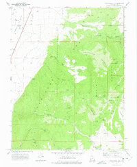
1971 · Cottonwood Mtn
USGS Topo · 1:24,000

1971 · Fivemile Ridge
USGS Topo · 1:24,000
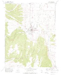
1971 · Panguitch
USGS Topo · 1:24,000