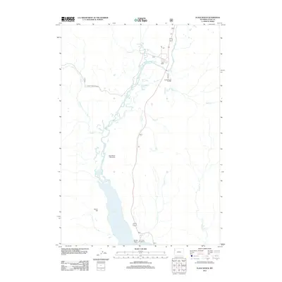
2012 Map of Flagg Ranch
USGS Topo · Published 2012About this map
Snake River dominates the central corridor of this Teton County landscape, feeding into the northern reaches of Jackson Lake near Fonda Point. The area serves as a significant crossroads for wilderness travelers, anchored by the long-standing waypoint at Flagg Ranch and the rugged Ashton-Flagg Ranch Rd. Geothermal activity is noted at Huckleberry Hot Springs along Polecat Cr, while a network of curiously named tributaries like Nickel Cr and Dime Cr drain the high ground between Steamboat Mountain and the water's edge. Recreational footprints are visible through the Lizard Creek Campground and the Sheffield Creek Trailhead, marking the intersection of public lands and river ecology in the early 21st century.
Find a feature on this map
18 named features on this map. Tap any name to fly to it.
Don’t see what you’re looking for? This feature index may not catch every label — zoom into the map to look around manually.
Map Details
Editions of this 2012 Flagg Ranch Map
This is the sole edition of this map. No revisions or reprints were ever made.
Other maps of this area

1886 · Shoshone
USGS Topo · 1:125,000

1888 · Shoshone
USGS Topo · 1:125,000

1895 · Shoshone
USGS Topo · 1:125,000

1899 · Grand Teton
USGS Topo · 1:125,000

1901 · Shoshone
USGS Topo · 1:125,000

1901 · Grand Teton
USGS Topo · 1:125,000

1908 · Shoshone
USGS Topo · 1:125,000

1911 · Shoshone
USGS Topo · 1:125,000

1955 · Ashton
USGS Topo · 1:250,000

1955 · Driggs
USGS Topo · 1:250,000