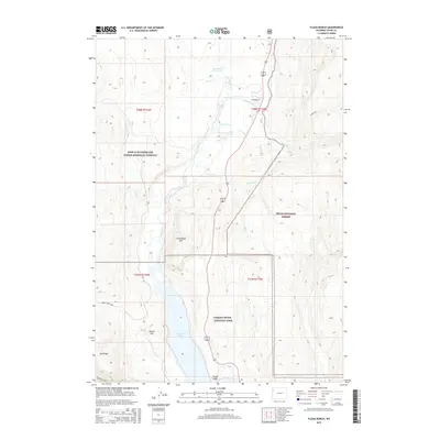
2015 Map of Flagg Ranch
USGS Topo · Published 2015About this map
Flagg Ranch serves as a central point in this transition between major wilderness preserves, where the Snake River winds southward toward the northern reaches of Jackson Lake. This 2015 survey documents the overlapping boundaries of the Grand Teton National Park, the Teton National Forest, and the John D Rockefeller Junior Memorial Parkway. The landscape is defined by its thermal features and sharp elevation changes, notably Huckleberry Hot Springs and the prominent peak of Steamboat Mtn. Historic backcountry access is traced through the Berry Creek Trail and Owl Creek Trail, while numerous drainages like Polecat Creek, Lizard Cr, and Arizona Cr feed the larger river system. The map illustrates a high-altitude wilderness managed through complex federal jurisdictions during the mid-2010s.
Find a feature on this map
27 named features on this map. Tap any name to fly to it.
Don’t see what you’re looking for? This feature index may not catch every label — zoom into the map to look around manually.
Map Details
Editions of this 2015 Flagg Ranch Map
This is the sole edition of this map. No revisions or reprints were ever made.
Other maps of this area

1886 · Shoshone
USGS Topo · 1:125,000

1888 · Shoshone
USGS Topo · 1:125,000

1895 · Shoshone
USGS Topo · 1:125,000

1899 · Grand Teton
USGS Topo · 1:125,000

1901 · Shoshone
USGS Topo · 1:125,000

1901 · Grand Teton
USGS Topo · 1:125,000

1908 · Shoshone
USGS Topo · 1:125,000

1911 · Shoshone
USGS Topo · 1:125,000

1955 · Ashton
USGS Topo · 1:250,000

1955 · Driggs
USGS Topo · 1:250,000