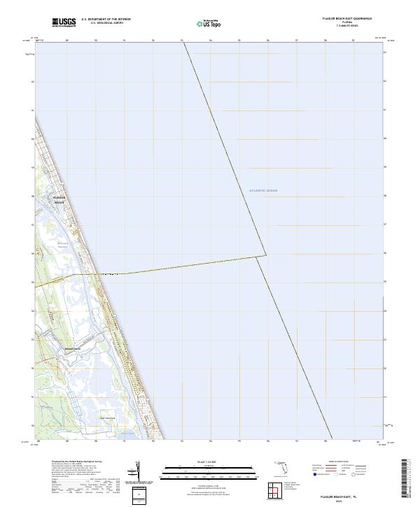
2024 Map of Flagler Beach East
USGS Topo · Published 2024About this map
Flagler Beach occupies a narrow barrier strip between the Atlantic Ocean and the Intracostal Waterway, defining the coastal character of this Volusia and Flagler County borderland. The landscape is dominated by a complex network of salt marshes and brackish channels, where Smith Creek and the Halifax River converge toward the Tomoka Basin. Settlement patterns follow the high ground along Ocean Shore Blvd and S Central Ave, while the interior remains preserved through an extensive trail system.
Find a feature on this map
35 named features on this map. Tap any name to fly to it.
Don’t see what you’re looking for? This feature index may not catch every label — zoom into the map to look around manually.
Map Details
Editions of this 2024 Flagler Beach East Map
This is the sole edition of this map. No revisions or reprints were ever made.
Other maps of this area

1927 · Matanzas
USGS Topo · 1:48,000

1937 · Ormond
USGS Topo · 1:48,000

1943 · Matanzas
USGS Topo · 1:62,500

1944 · Ormond
USGS Topo · 1:62,500

1944 · Matanzas
USGS Topo · 1:62,500

1954 · Daytona Beach
USGS Topo · 1:250,000

1956 · Favoretta
USGS Topo · 1:24,000

1956 · Flagler Beach East
USGS Topo · 1:24,000

1956 · Flagler Beach West
USGS Topo · 1:24,000

1956 · Ormond Beach
USGS Topo · 1:24,000