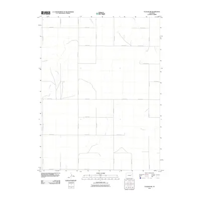
2010 Map of Flagler NW
USGS Topo · Published 2010About this map
The Arikaree River and the meandering path of Hell Creek define the drainage patterns of this corner of Lincoln County, Colorado. In the early 21st century, the landscape remains a vast grid of agricultural and ranching corridors, marked by an extensive network of gravel and dirt thoroughfares such as County Rd-3y and County Road JJ. The map reveals a high plains environment where water is the primary architect of the terrain, with small ephemeral streams feeding into the larger river system. While no major towns occupy this specific quadrangle, the systematic numbering of routes like County Road GG and County Road FF illustrates the structured division of land that has governed this region since the original land grants. Researchers can trace the exact intersections and watershed boundaries that characterize this sparsely populated rural expanse.
Find a feature on this map
20 named features on this map. Tap any name to fly to it.
Don’t see what you’re looking for? This feature index may not catch every label — zoom into the map to look around manually.
Map Details
Editions of this 2010 Flagler NW Map
This is the sole edition of this map. No revisions or reprints were ever made.
Other maps of this area

1954 · Limon
USGS Topo · 1:250,000

1957 · Limon
USGS Topo · 1:250,000

1958 · Limon
USGS Topo · 1:250,000

1973 · Shaw
USGS Topo · 1:24,000

1977 · Thurman
USGS Topo · 1:24,000

1977 · Anton SE
USGS Topo · 1:24,000

1979 · Arriba
USGS Topo · 1:24,000

1979 · Flagler SW
USGS Topo · 1:24,000

1979 · Flagler NW
USGS Topo · 1:24,000

1979 · Flagler
USGS Topo · 1:24,000