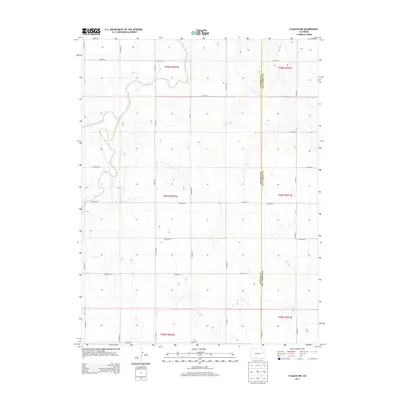
2013 Map of Flagler NW
USGS Topo · Published 2013About this map
The Arikaree River meanders across the northwestern corner of this High Plains landscape, its winding course cutting through the otherwise rigid grid of the Public Land Survey System. Located along the boundary of Lincoln and Kit Carson counties, the terrain is defined by a sparse network of section roads like Co Road 44 and Co Road 48. Drainage in the southeastern portion is marked by Hell Creek and its tributary Hell Cr, which reveal the subtle relief of the Colorado prairie. This map illustrates a modern rural economy where land management is divided into townships such as t007s r052w, supporting agricultural life far from major urban centers.
Find a feature on this map
30 named features on this map. Tap any name to fly to it.
Don’t see what you’re looking for? This feature index may not catch every label — zoom into the map to look around manually.
Map Details
Editions of this 2013 Flagler NW Map
This is the sole edition of this map. No revisions or reprints were ever made.
Other maps of this area

1954 · Limon
USGS Topo · 1:250,000

1957 · Limon
USGS Topo · 1:250,000

1958 · Limon
USGS Topo · 1:250,000

1973 · Shaw
USGS Topo · 1:24,000

1977 · Thurman
USGS Topo · 1:24,000

1977 · Anton SE
USGS Topo · 1:24,000

1979 · Arriba
USGS Topo · 1:24,000

1979 · Flagler SW
USGS Topo · 1:24,000

1979 · Flagler NW
USGS Topo · 1:24,000

1979 · Flagler
USGS Topo · 1:24,000