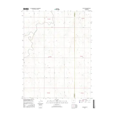
2016 Map of Flagler NW
USGS Topo · Published 2016About this map
Arikaree River and its tributary drainage define this segment of the High Plains, where the watercourse winds through the northwestern corner of the quadrangle. This 2016 survey highlights a sparse landscape dominated by the Public Land Survey System, with the boundary between Lincoln County and Kit Carson County running vertically through the eastern sections. The terrain is defined by low-relief drainage basins, most notably Hell Creek, which cuts through the southern and eastern portions of the map. A strict grid of county roads, such as Co Rd 47 and Co Rd 3S, provides the primary infrastructure for this ranching and agricultural region. Small intermittent ponds and depressions are scattered throughout, illustrating the hydrologic character of the eastern Colorado plains during the mid-2010s.
Find a feature on this map
25 named features on this map. Tap any name to fly to it.
Don’t see what you’re looking for? This feature index may not catch every label — zoom into the map to look around manually.
Map Details
Editions of this 2016 Flagler NW Map
This is the sole edition of this map. No revisions or reprints were ever made.
Other maps of this area

1954 · Limon
USGS Topo · 1:250,000

1957 · Limon
USGS Topo · 1:250,000

1958 · Limon
USGS Topo · 1:250,000

1973 · Shaw
USGS Topo · 1:24,000

1977 · Thurman
USGS Topo · 1:24,000

1977 · Anton SE
USGS Topo · 1:24,000

1979 · Arriba
USGS Topo · 1:24,000

1979 · Flagler SW
USGS Topo · 1:24,000

1979 · Flagler NW
USGS Topo · 1:24,000

1979 · Flagler
USGS Topo · 1:24,000