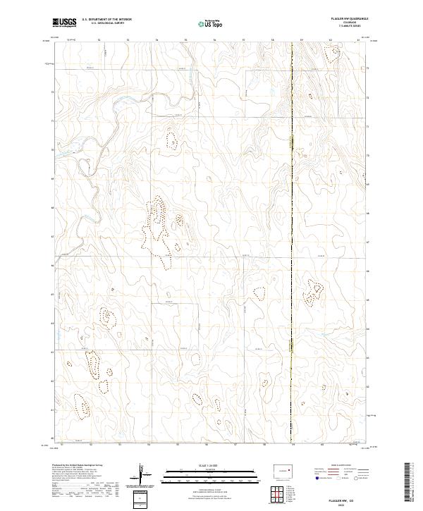
2022 Map of Flagler NW
USGS Topo · Published 2022About this map
The Arikaree River winds through the northwestern corner of this eastern Colorado landscape, marking a prominent natural corridor in a region defined by its wide, open drainages. Flowing roughly parallel to several county routes, the river is joined by seasonal watercourses such as Hell Creek and Hell Cr further south. This 2022 survey captures the contemporary grid of agricultural and local access roads, including Co Rd 45 and Co Rd 48, which crisscross the high plains terrain.
Find a feature on this map
27 named features on this map. Tap any name to fly to it.
Don’t see what you’re looking for? This feature index may not catch every label — zoom into the map to look around manually.
Map Details
Editions of this 2022 Flagler NW Map
This is the sole edition of this map. No revisions or reprints were ever made.
Other maps of this area

1954 · Limon
USGS Topo · 1:250,000

1957 · Limon
USGS Topo · 1:250,000

1958 · Limon
USGS Topo · 1:250,000

1973 · Shaw
USGS Topo · 1:24,000

1977 · Thurman
USGS Topo · 1:24,000

1977 · Anton SE
USGS Topo · 1:24,000

1979 · Arriba
USGS Topo · 1:24,000

1979 · Flagler SW
USGS Topo · 1:24,000

1979 · Flagler NW
USGS Topo · 1:24,000

1979 · Flagler
USGS Topo · 1:24,000