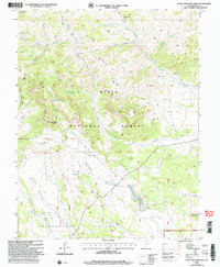
2002 Map of Flake Mountain West
USGS Topo · Published 2005About this map
The Paunsaugunt Plateau dominates the southern reaches of this Garfield County survey, revealing a high-elevation landscape defined by drainage patterns and seasonal water sources. Within the Dixie National Forest, the terrain is carved by the complex headwaters of the Sevier River system, including Hancock Creek and the West Fork Hunt Creek. The presence of several named springs, such as Clarence Creek Spring and Showalter Spring, underscores the vital importance of water for livestock and early land use in these high grazing allotments.
Find a feature on this map
44 named features on this map. Tap any name to fly to it.
Don’t see what you’re looking for? This feature index may not catch every label — zoom into the map to look around manually.
Map Details
Editions of this 2002 Flake Mountain West Map
This is the sole edition of this map. No revisions or reprints were ever made.
Other maps of this area

1886 · Kanab
USGS Topo · 1:250,000

1953 · Cedar City
USGS Topo · 1:250,000

1958 · Cedar City
USGS Topo · 1:250,000

1962 · Cedar City
USGS Topo · 1:250,000

1966 · Wilson Peak
USGS Topo · 1:24,000
1966 · Bryce Canyon
USGS Topo · 1:24,000
1966 · Tropic Canyon
USGS Topo · 1:24,000
1971 · Flake Mtn East
USGS Topo · 1:24,000
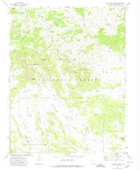
1971 · Flake Mtn West
USGS Topo · 1:24,000
1971 · Adams Head
USGS Topo · 1:24,000