
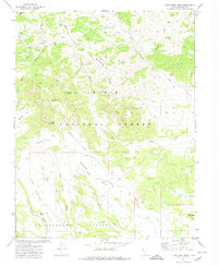
1966 Map of Wilson Peak
USGS Topo · Published 1968About this map
The Paunsaugunt Plateau dominates this mid-1960s landscape, where the high elevation terrain breaks away into a complex network of canyons and dramatic rock faces. Along the western edge, the Sunset Cliffs define a sharp transition from the forested heights of the Dixie National Forest down toward the Sevier River valley. This area shows a high concentration of named drainage features, including Hillsdale Canyon, Riggs Canyon, and Porter Canyon, reflecting a landscape deeply etched by seasonal water. Evidence of human activity is concentrated along the northern corridor near Red Canyon, where a Radio Tower, the Red Canyon Campground, and several Tunnels indicate the engineering required to traverse this geological barrier. A few scattered Prospects near Wilson Canyon hint at early mineral exploration in the high country.
Find a feature on this map
31 named features on this map. Tap any name to fly to it.
Don’t see what you’re looking for? This feature index may not catch every label — zoom into the map to look around manually.
Map Details
Editions of this 1966 Wilson Peak Map
2 editions found
Other maps of this area

1886 · Kanab
USGS Topo · 1:250,000

1953 · Cedar City
USGS Topo · 1:250,000

1958 · Cedar City
USGS Topo · 1:250,000

1962 · Cedar City
USGS Topo · 1:250,000
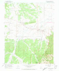
1966 · Bryce Canyon
USGS Topo · 1:24,000

1966 · Hatch
USGS Topo · 1:24,000

1966 · George Mtn
USGS Topo · 1:24,000
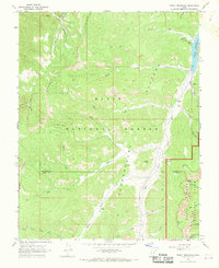
1966 · Tropic Reservoir
USGS Topo · 1:24,000
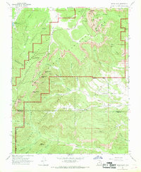
1966 · Bryce Point
USGS Topo · 1:24,000
1971 · Flake Mtn West
USGS Topo · 1:24,000