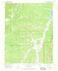
1966 Map of Tropic Reservoir
USGS Topo · Published 1969About this map
Paunsaugunt Plateau dominates this landscape, where the high-altitude terrain is carved by complex drainages including Upper Kanab Creek and the Sevier River. During this mid-1960s survey, the area was defined by its role within the Dixie National Forest, with development concentrated around the Tropic Reservoir and the King Creek Campground. The map reveals the early recreational and resource management of the region, evidenced by the Proctor Pack Trail and scattered Jeep Trails navigating the steep topography.
Find a feature on this map
41 named features on this map. Tap any name to fly to it.
Don’t see what you’re looking for? This feature index may not catch every label — zoom into the map to look around manually.
Map Details
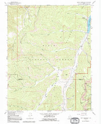
Editions of this 1966 Tropic Reservoir Map
2 editions found
Other maps of this area

1886 · Kanab
USGS Topo · 1:250,000

1953 · Cedar City
USGS Topo · 1:250,000

1958 · Cedar City
USGS Topo · 1:250,000

1962 · Cedar City
USGS Topo · 1:250,000

1966 · Wilson Peak
USGS Topo · 1:24,000

1966 · Alton
USGS Topo · 1:24,000
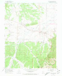
1966 · Bryce Canyon
USGS Topo · 1:24,000

1966 · Hatch
USGS Topo · 1:24,000

1966 · George Mtn
USGS Topo · 1:24,000
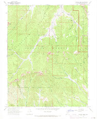
1966 · Podunk Creek
USGS Topo · 1:24,000