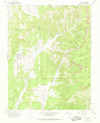
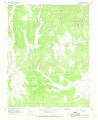
1966 Map of Alton
USGS Topo · Published 1968About this map
The town of Alton sits at the edge of a dramatic geological transition, where the Alton Amphitheater and Sink Valley meet the rising elevations of the Paunsaugunt Plateau. This mid-1960s survey captures the community and its surrounding ranching landscape, including the Alton Cemetery and the isolated Swapp Ranch further south. The map documents a landscape defined by water and erosion, with the Kanab Creek drainage system carving through numerous canyons like Birch Canyon and Reservoir Canyon. To the east, the vertical relief of the Sunset Cliffs and Pink Cliffs borders the Dixie National Forest, while the presence of Gravel Pits and a Filtration Tank near the township indicates the local infrastructure and small-scale industry of the era. A network of pack trails and jeep trails provides the primary access into the steep eastern canyons such as Swapp Canyon and Robinson Canyon.
Find a feature on this map
49 named features on this map. Tap any name to fly to it.
Don’t see what you’re looking for? This feature index may not catch every label — zoom into the map to look around manually.
Map Details
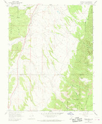
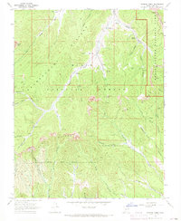
Editions of this 1966 Alton Map
2 editions found
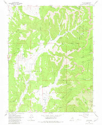
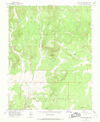
Other maps of this area

1886 · Kanab
USGS Topo · 1:250,000

1953 · Cedar City
USGS Topo · 1:250,000

1958 · Cedar City
USGS Topo · 1:250,000
1958 · Orderville
USGS Topo · 1:62,500
1958 · Panguitch Lake
USGS Topo · 1:62,500

1962 · Cedar City
USGS Topo · 1:250,000
1966 · Bald Knoll
USGS Topo · 1:24,000
1966 · George Mtn
USGS Topo · 1:24,000
1966 · Podunk Creek
USGS Topo · 1:24,000
1966 · Skutumpah Creek
USGS Topo · 1:24,000