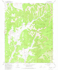
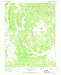
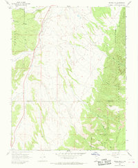
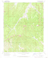
1966 Map of Alton
USGS Topo · Published 1980About this map
The small settlement of Alton sits at the edge of the Alton Amphitheater, where the high desert terrain meets the dramatic verticality of the Sunset Cliffs. This mid-1960s landscape shows a rural community defined by its proximity to the Dixie National Forest and the Paunsaugunt Plateau. The map reveals a reliance on the land, evidenced by several Gravel Pits, a local Mine, and the presence of the Swapp Ranch to the south.
Find a feature on this map
43 named features on this map. Tap any name to fly to it.
Don’t see what you’re looking for? This feature index may not catch every label — zoom into the map to look around manually.
Map Details
Editions of this 1966 Alton Map
2 editions found
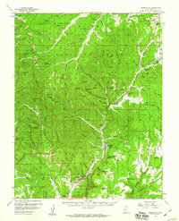
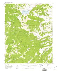
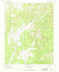
Other maps of this area

1886 · Kanab
USGS Topo · 1:250,000

1953 · Cedar City
USGS Topo · 1:250,000

1958 · Cedar City
USGS Topo · 1:250,000
1958 · Orderville
USGS Topo · 1:62,500
1958 · Panguitch Lake
USGS Topo · 1:62,500

1962 · Cedar City
USGS Topo · 1:250,000
1966 · Alton
USGS Topo · 1:24,000
1966 · Bald Knoll
USGS Topo · 1:24,000
1966 · George Mtn
USGS Topo · 1:24,000
1966 · Podunk Creek
USGS Topo · 1:24,000