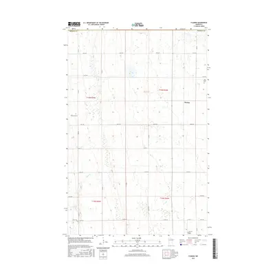
2016 Map of Flaming
USGS Topo · Published 2016About this map
Flaming and the northern edge of Gary anchor this Norman County landscape, characterized by a persistent grid of rural section roads and scattered family heritage sites. The terrain is defined by the winding course of Spring Creek, which moves through the western half of the quadrangle. For those researching local lineages, three distinct burial grounds are documented here: Old Sundal Cem, Spring Creek Cem, and Luchau Cem. These markers of early settlement remain embedded within a modern township layout of numbered avenues, including 330th Ave and 300th Ave. The map reflects the agrarian character of this Red River Valley region, where the intersection of Co Rd 143 and 260th Ave near the southern boundary serves as a primary local junction.
Find a feature on this map
24 named features on this map. Tap any name to fly to it.
Don’t see what you’re looking for? This feature index may not catch every label — zoom into the map to look around manually.
Map Details
Editions of this 2016 Flaming Map
This is the sole edition of this map. No revisions or reprints were ever made.
Other maps of this area

1918 · Twin Valley
USGS Topo · 1:62,500

1919 · Valley
USGS Topo · 1:62,500

1952 · Grand Forks
USGS Topo · 1:250,000

1956 · Grand Forks
USGS Topo · 1:250,000

1965 · Fertile
USGS Topo · 1:24,000

1965 · Melvin
USGS Topo · 1:24,000

1965 · Waukon
USGS Topo · 1:24,000

1965 · Twin Valley SW
USGS Topo · 1:24,000

1965 · Twin Valley
USGS Topo · 1:24,000

1965 · Twin Valley NW
USGS Topo · 1:24,000