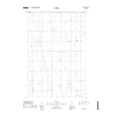
2019 Map of Flaming
USGS Topo · Published 2019About this map
Old Sundal Cem and the settlement of Flaming sit upon a landscape defined by the subtle contours of the Red River Valley. This part of Norman County displays the rigid section-line organization of the Public Land Survey System, with a dense grid of gravel roads like 330th Ave and 350th St serving local farmsteads. The winding course of Spring Creek provides a natural break in the geometric regularity of the fields, while the Agassiz Trail runs north-south, tracing the ancient shoreline of a glacial lake. Genealogists will find particular value in the locations of Spring Creek Cem and Luchau Cem, which anchor the history of this agricultural community. The southern edge of the survey reaches the outskirts of Gary, showing the area's ongoing connection to the regional transport network of county roads like Co Rd 143.
Find a feature on this map
33 named features on this map. Tap any name to fly to it.
Don’t see what you’re looking for? This feature index may not catch every label — zoom into the map to look around manually.
Map Details
Editions of this 2019 Flaming Map
This is the sole edition of this map. No revisions or reprints were ever made.
Other maps of this area

1918 · Twin Valley
USGS Topo · 1:62,500

1919 · Valley
USGS Topo · 1:62,500

1952 · Grand Forks
USGS Topo · 1:250,000

1956 · Grand Forks
USGS Topo · 1:250,000

1965 · Fertile
USGS Topo · 1:24,000

1965 · Melvin
USGS Topo · 1:24,000

1965 · Waukon
USGS Topo · 1:24,000

1965 · Twin Valley SW
USGS Topo · 1:24,000

1965 · Twin Valley
USGS Topo · 1:24,000

1965 · Twin Valley NW
USGS Topo · 1:24,000