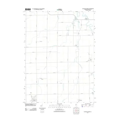
2012 Map of Flanagan North
USGS Topo · Published 2012About this map
The village of Flanagan and the community of Graymont anchor this agricultural landscape in Livingston County, where a dense grid of rural roads connects scattered family-named sites. The land is drained by a network of waterways including Diamond Cr, Mole Cr, and the Vermilion River, which is spanned by Bradley Bridge in the northeast corner. For genealogists, the map is remarkably dense with burial grounds, ranging from established church sites like Nigh Chapel Cem to family-linked locations such as Johnson Farm Cem and Walden Farm Cem.
Find a feature on this map
45 named features on this map. Tap any name to fly to it.
Don’t see what you’re looking for? This feature index may not catch every label — zoom into the map to look around manually.
Map Details
Editions of this 2012 Flanagan North Map
This is the sole edition of this map. No revisions or reprints were ever made.
Other maps of this area

1925 · Streator
USGS Topo · 1:62,500

1927 · Streator
USGS Topo · 1:62,500

1935 · Pontiac
USGS Topo · 1:62,500

1939 · Pontiac
USGS Topo · 1:62,500

1958 · Flanagan
USGS Topo · 1:62,500

1958 · Odell
USGS Topo · 1:62,500

1958 · Aurora
USGS Topo · 1:250,000

1958 · Peoria
USGS Topo · 1:250,000

1961 · Aurora
USGS Topo · 1:250,000

1961 · Peoria
USGS Topo · 1:250,000