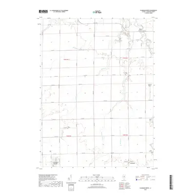
2018 Map of Flanagan North
USGS Topo · Published 2018About this map
Flanagan and Graymont serve as the primary hubs for this agricultural landscape in Livingston County, where a dense network of country roads connects scattered farmsteads and rural landmarks. The northeast corner is defined by the winding course of the Vermilion River, crossed by the Bradley Bridge, while multiple tributaries like Scattering Point Cr and Mole Cr drain the surrounding fields.
Find a feature on this map
91 named features on this map. Tap any name to fly to it.
Don’t see what you’re looking for? This feature index may not catch every label — zoom into the map to look around manually.
Map Details
Editions of this 2018 Flanagan North Map
This is the sole edition of this map. No revisions or reprints were ever made.
Other maps of this area

1925 · Streator
USGS Topo · 1:62,500

1927 · Streator
USGS Topo · 1:62,500

1935 · Pontiac
USGS Topo · 1:62,500

1939 · Pontiac
USGS Topo · 1:62,500

1958 · Flanagan
USGS Topo · 1:62,500

1958 · Odell
USGS Topo · 1:62,500

1958 · Aurora
USGS Topo · 1:250,000

1958 · Peoria
USGS Topo · 1:250,000

1961 · Aurora
USGS Topo · 1:250,000

1961 · Peoria
USGS Topo · 1:250,000