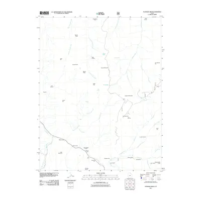
2011 Map of Flanigan Arch
USGS Topo · Published 2011About this map
Flanigan Arch sits as a central landmark within this high-elevation terrain of Iron County, where steep drainages and prominent ridges define the landscape. The southern portion of the quadrangle reveals a history of resource extraction, evidenced by the Cluff Mine and MacFarlane Mine located near the winding path of Coal Creek. These sites, along with names like Whiskey Hollow and Last Chance Canyon, reflect the rugged character of the area's pioneer and industrial past.
Find a feature on this map
56 named features on this map. Tap any name to fly to it.
Don’t see what you’re looking for? This feature index may not catch every label — zoom into the map to look around manually.
Map Details
Editions of this 2011 Flanigan Arch Map
This is the sole edition of this map. No revisions or reprints were ever made.
Other maps of this area

1885 · St. George
USGS Topo · 1:250,000

1886 · Kanab
USGS Topo · 1:250,000

1891 · St. George
USGS Topo · 1:250,000

1950 · Enoch
USGS Topo · 1:24,000

1950 · Cedar City
USGS Topo · 1:24,000

1950 · Enoch
USGS Topo · 1:62,500

1950 · Cedar City
USGS Topo · 1:62,500

1950 · Cedar Mountain
USGS Topo · 1:24,000

1952 · Cedar Mountain
USGS Topo · 1:24,000

1953 · Cedar City
USGS Topo · 1:250,000