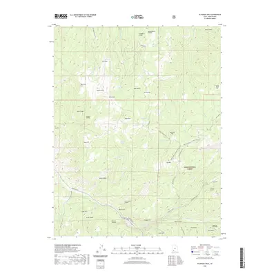
2020 Map of Flanigan Arch
USGS Topo · Published 2020About this map
Dixie National Forest covers the majority of this Iron County landscape, where the high plateaus and deep drainage systems of south-central Utah are meticulously documented. The terrain is defined by a series of prominent peaks and ridges, including Summit Mtn, Eagle Peak, and Sugarloaf Mtn, which overlook complex canyon networks such as Hells Canyon, Maple Canyon, and Deep Canyon. The geomorphology of the region is punctuated by the notable Flanigan Arch and the narrow passage of Ashdown Gorge near the southern boundary.
Find a feature on this map
58 named features on this map. Tap any name to fly to it.
Don’t see what you’re looking for? This feature index may not catch every label — zoom into the map to look around manually.
Map Details
Editions of this 2020 Flanigan Arch Map
This is the sole edition of this map. No revisions or reprints were ever made.
Other maps of this area

1885 · St. George
USGS Topo · 1:250,000

1886 · Kanab
USGS Topo · 1:250,000

1891 · St. George
USGS Topo · 1:250,000

1950 · Enoch
USGS Topo · 1:24,000

1950 · Cedar City
USGS Topo · 1:24,000

1950 · Enoch
USGS Topo · 1:62,500

1950 · Cedar City
USGS Topo · 1:62,500

1950 · Cedar Mountain
USGS Topo · 1:24,000

1952 · Cedar Mountain
USGS Topo · 1:24,000

1953 · Cedar City
USGS Topo · 1:250,000