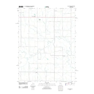
2012 Map of Flat Creek
USGS Topo · Published 2012About this map
Shoal Creek meanders through this agricultural landscape in Caldwell County, defining much of the local topography and drainage. The small settlements of Proctorville and Catawba serve as the primary historic nodes within a network of rural roads such as NE Catawba Rd and NE Proctorville Rd. The area is characterized by several smaller water bodies and engineered water management features, including Owens Lake and the Niehaus Brothers Lake Dam, which speak to the modern land use and agricultural development of the region.
Find a feature on this map
60 named features on this map. Tap any name to fly to it.
Don’t see what you’re looking for? This feature index may not catch every label — zoom into the map to look around manually.
Map Details
Editions of this 2012 Flat Creek Map
This is the sole edition of this map. No revisions or reprints were ever made.
Other maps of this area

1921 · Chillicothe
USGS Topo · 1:62,500

1922 · Gallatin
USGS Topo · 1:62,500

1923 · Chillicothe
USGS Topo · 1:62,500

1924 · Dawn
USGS Topo · 1:62,500

1924 · Braymer
USGS Topo · 1:62,500

1950 · Plymouth
USGS Topo · 1:24,000

1951 · Utica
USGS Topo · 1:62,500

1953 · Moberly
USGS Topo · 1:250,000

1954 · Moberly
USGS Topo · 1:250,000

1957 · Moberly
USGS Topo · 1:250,000