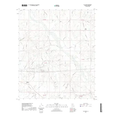
2018 Map of Flat Creek
USGS Topo · Published 2018About this map
Murray Junction serves as a primary geographic anchor in this section of Winn Parish, where the local road network reflects a landscape defined by timber and family holdings. The terrain is a complex web of small waterways, including the winding Saline Cr and Higdon Cr, which dictate the placement of rural parish roads. Numerous family and community burial sites are scattered throughout the area, such as Old Shady Grove Cem, Shiloh Cem, and Corley Cem, providing essential points of interest for genealogical research. The presence of Oil Field Rd in the southern reaches hints at the region's industrial ties, while the name Flat Creek identifies both a watercourse and a localized settlement area. This 2018 survey detail shows how the historical boundaries of T11N and R1W continue to organize the rural Louisiana interior.
Find a feature on this map
91 named features on this map. Tap any name to fly to it.
Don’t see what you’re looking for? This feature index may not catch every label — zoom into the map to look around manually.
Map Details
Editions of this 2018 Flat Creek Map
This is the sole edition of this map. No revisions or reprints were ever made.
Other maps of this area

1949 · Jonesboro
USGS Topo · 1:62,500

1950 · Jonesboro
USGS Topo · 1:62,500

1950 · Winnfield
USGS Topo · 1:62,500

1951 · Winnfield
USGS Topo · 1:62,500

1953 · Alexandria
USGS Topo · 1:250,000

1954 · Sikes
USGS Topo · 1:62,500

1954 · Tullos
USGS Topo · 1:62,500

1955 · Shreveport
USGS Topo · 1:250,000

1955 · Alexandria
USGS Topo · 1:250,000

1956 · Shreveport
USGS Topo · 1:250,000