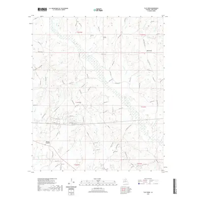
2020 Map of Flat Creek
USGS Topo · Published 2020About this map
Murray Junction serves as a key landmark in this Winn Parish landscape, where the confluence of numerous drainage systems like Flat Creek and Beech Cr defines the local topography. The area is notable for its concentration of family and community burial grounds, including the Old Shady Grove Cem, Shiloh Cem, and Corley Cem, which offer significant value for genealogical research in north-central Louisiana.
Find a feature on this map
92 named features on this map. Tap any name to fly to it.
Don’t see what you’re looking for? This feature index may not catch every label — zoom into the map to look around manually.
Map Details
Editions of this 2020 Flat Creek Map
This is the sole edition of this map. No revisions or reprints were ever made.
Other maps of this area

1949 · Jonesboro
USGS Topo · 1:62,500

1950 · Jonesboro
USGS Topo · 1:62,500

1950 · Winnfield
USGS Topo · 1:62,500

1951 · Winnfield
USGS Topo · 1:62,500

1953 · Alexandria
USGS Topo · 1:250,000

1954 · Sikes
USGS Topo · 1:62,500

1954 · Tullos
USGS Topo · 1:62,500

1955 · Shreveport
USGS Topo · 1:250,000

1955 · Alexandria
USGS Topo · 1:250,000

1956 · Shreveport
USGS Topo · 1:250,000