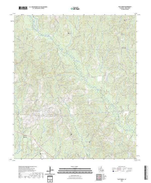
2024 Map of Flat Creek
USGS Topo · Published 2024About this map
Beech Creek and its many tributaries, including Higdon Creek and Godfrey Branch, carve a complex drainage pattern through this section of Winn Parish. The landscape is defined by its rural connectivity, where a dense network of local routes like Tom Hudson Rd and Felton Maxwell Rd link isolated family-named homesteads and landmarks. This 2024 survey captures the persistence of small-scale rural settlements at Flat Creek and Murray Junction, where the cultural geography is heavily weighted toward historic burial grounds.
Find a feature on this map
95 named features on this map. Tap any name to fly to it.
Don’t see what you’re looking for? This feature index may not catch every label — zoom into the map to look around manually.
Map Details
Editions of this 2024 Flat Creek Map
This is the sole edition of this map. No revisions or reprints were ever made.
Other maps of this area

1949 · Jonesboro
USGS Topo · 1:62,500

1950 · Jonesboro
USGS Topo · 1:62,500

1950 · Winnfield
USGS Topo · 1:62,500

1951 · Winnfield
USGS Topo · 1:62,500

1953 · Alexandria
USGS Topo · 1:250,000

1954 · Sikes
USGS Topo · 1:62,500

1954 · Tullos
USGS Topo · 1:62,500

1955 · Shreveport
USGS Topo · 1:250,000

1955 · Alexandria
USGS Topo · 1:250,000

1956 · Shreveport
USGS Topo · 1:250,000