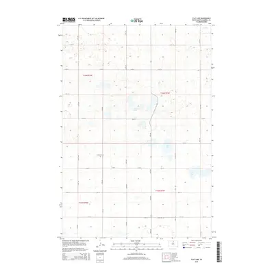
2015 Map of Flat Lake
USGS Topo · Published 2015About this map
Glacial depressions and prairie potholes define this section of Campbell County, where the hydrology is dominated by Lindemann Lakes and the dual basins of Flat Lake and E Flat Lake. The landscape is organized by a precise section-line road grid, including 319th Ave and 117th St, which trace the rural terrain. For genealogists and local historians, the map identifies two significant landmarks of early settlement: Friedenstahl Cem in the western half and Sutley Cem near the southern boundary. These sites, along with the scattered farmstead footprints, reflect the enduring agricultural character of the Dakotas in the early 21st century.
Find a feature on this map
23 named features on this map. Tap any name to fly to it.
Don’t see what you’re looking for? This feature index may not catch every label — zoom into the map to look around manually.
Map Details
Editions of this 2015 Flat Lake Map
This is the sole edition of this map. No revisions or reprints were ever made.
Other maps of this area

1954 · Aberdeen
USGS Topo · 1:250,000

1956 · Aberdeen
USGS Topo · 1:250,000

1978 · Salt Lake
USGS Topo · 1:24,000

1978 · Bowdle-Hosmer Lake
USGS Topo · 1:24,000

1978 · Java SE
USGS Topo · 1:24,000

1978 · Eureka West
USGS Topo · 1:24,000
1978 · Java
USGS Topo · 1:24,000

1978 · Flat Lake
USGS Topo · 1:24,000

1978 · Feinstein Lake
USGS Topo · 1:24,000

1978 · Mutske Lake
USGS Topo · 1:24,000