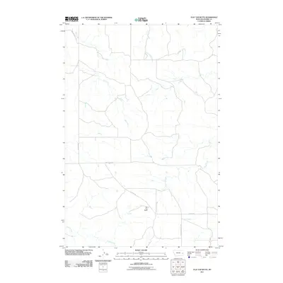
2011 Map of Flat Top Butte
USGS Topo · Published 2011About this map
Flat Top Butte rises above the drainage networks of Prairie County, marking a landscape defined by seasonal watercourses and a sparse, functional road system. The hydrology of this region is characterized by winding channels such as Ash Creek and Newman Hollow Creek in the north, while Tenmile Creek and Fox Creek drain the southern reaches. These watercourses have likely influenced the placement of local thoroughfares and the historical movement of livestock through the area.
Find a feature on this map
10 named features on this map. Tap any name to fly to it.
Don’t see what you’re looking for? This feature index may not catch every label — zoom into the map to look around manually.
Map Details
Editions of this 2011 Flat Top Butte Map
This is the sole edition of this map. No revisions or reprints were ever made.
Other maps of this area

1953 · Miles City
USGS Topo · 1:250,000

1957 · Miles City
USGS Topo · 1:250,000

1958 · Miles City
USGS Topo · 1:250,000

1966 · Fallon
USGS Topo · 1:24,000

1969 · Little Whitney Creek
USGS Topo · 1:24,000

1969 · Spring Draw
USGS Topo · 1:24,000

1969 · Zero NE
USGS Topo · 1:24,000

1969 · Flat Top Butte SW
USGS Topo · 1:24,000

1969 · Flat Top Butte
USGS Topo · 1:24,000

1969 · Flat Top Butte NE
USGS Topo · 1:24,000