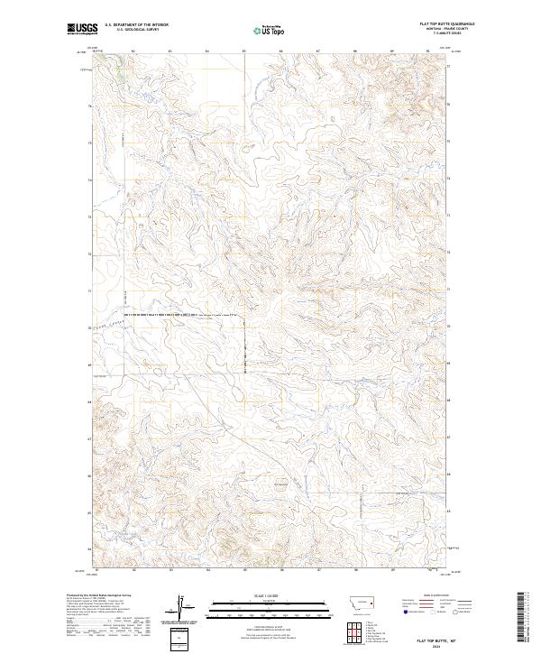
2024 Map of Flat Top Butte
USGS Topo · Published 2024About this map
Flat Top Butte rises as a central landmark in this drainage-rich portion of Prairie County, where the landscape is defined by an intricate network of seasonal coulees and creeks. The hydrology of the region is traced through names like Newman Hollow Creek in the north and the winding course of Dunwoodie Creek to the south. Transport across this western rangeland is facilitated by a few primary routes, notably Ash Creek Rd and Flat Top Rd, which intersect near the butte. The surveying of this territory, organized under the Public Land Survey System, shows the grid of Township and Range lines including t11n r52e and t10n r52e. This modern record illustrates a sparse but functional infrastructure of ranch roads and named watercourses such as Conns Coulee and Tenmile Creek, preserving the specific nomenclature used by local landowners and ranchers in the twenty-first century.
Find a feature on this map
16 named features on this map. Tap any name to fly to it.
Don’t see what you’re looking for? This feature index may not catch every label — zoom into the map to look around manually.
Map Details
Editions of this 2024 Flat Top Butte Map
This is the sole edition of this map. No revisions or reprints were ever made.
Other maps of this area

1953 · Miles City
USGS Topo · 1:250,000

1957 · Miles City
USGS Topo · 1:250,000

1958 · Miles City
USGS Topo · 1:250,000

1966 · Fallon
USGS Topo · 1:24,000

1969 · Little Whitney Creek
USGS Topo · 1:24,000

1969 · Spring Draw
USGS Topo · 1:24,000

1969 · Zero NE
USGS Topo · 1:24,000

1969 · Flat Top Butte SW
USGS Topo · 1:24,000

1969 · Flat Top Butte
USGS Topo · 1:24,000

1969 · Flat Top Butte NE
USGS Topo · 1:24,000