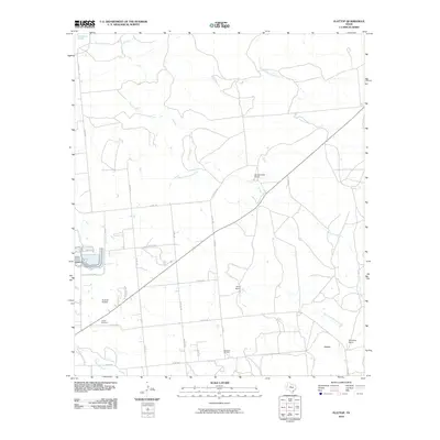
2010 Map of Flattop
USGS Topo · Published 2010About this map
Hamby Cemetery and the small settlement of Flattop anchor this landscape northeast of Abilene in the early twenty-first century. The map reveals a rural Texas terrain defined by ranching and resource extraction, where large property holdings like Spring Creek Ranch, Davis Ranch, and Windham Ranch dominate the countryside. This era shows a transition in land use, where traditional agricultural expanses intersect with industrial footprints such as the Morrisett Oil Field.
Find a feature on this map
30 named features on this map. Tap any name to fly to it.
Don’t see what you’re looking for? This feature index may not catch every label — zoom into the map to look around manually.
Map Details
Editions of this 2010 Flattop Map
This is the sole edition of this map. No revisions or reprints were ever made.
Other maps of this area

1890 · Abilene
USGS Topo · 1:125,000

1891 · Anson
USGS Topo · 1:125,000

1892 · Abilene
USGS Topo · 1:125,000

1892 · Albany
USGS Topo · 1:125,000

1893 · Albany
USGS Topo · 1:125,000

1893 · Anson
USGS Topo · 1:125,000

1931 · Baird
USGS Topo · 1:125,000

1932 · Baird
USGS Topo · 1:125,000

1954 · Abilene
USGS Topo · 1:250,000

1957 · Kirby Lake
USGS Topo · 1:62,500