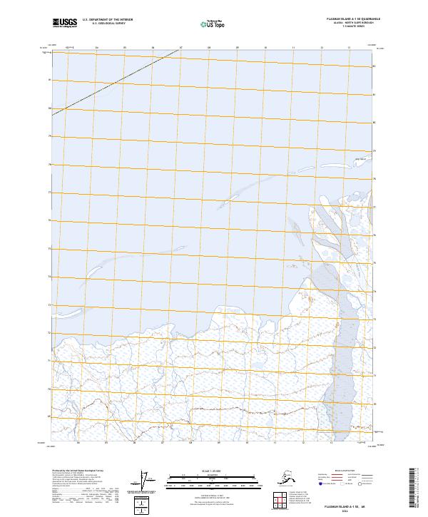
2024 Map of Flaxman Island A-1 SE
USGS Topo · Published 2024About this map
The Arctic National Wildlife Refuge dominates the coastal landscape of the North Slope in this recent survey. This remote Arctic shoreline is defined by a complex network of wetlands and tidal flats where the Okpilak River and Katiktok River meet the Beaufort Sea. The presence of Arey Island just offshore creates a sheltered lagoon environment, characteristic of the barrier island systems that protect this sensitive coastline. The map illustrates the hydrological patterns of the tundra, showing the winding course of Natarourak Creek as it drains through a landscape dotted with numerous small ponds and wetland features. Surveyed within Township 8 North and 9 North, this map details the intersection of terrestrial and marine ecosystems before the onset of significant seasonal shifts.
Find a feature on this map
9 named features on this map. Tap any name to fly to it.
Don’t see what you’re looking for? This feature index may not catch every label — zoom into the map to look around manually.
Map Details
Editions of this 2024 Flaxman Island A-1 SE Map
This is the sole edition of this map. No revisions or reprints were ever made.
Other maps of this area

1951 · Barter Island
USGS Topo · 1:250,000

1951 · Demarcation Point
USGS Topo · 1:250,000

1951 · Mt. Michelson
USGS Topo · 1:250,000

1955 · Flaxman Island
USGS Topo · 1:250,000

1955 · Demarcation Point
USGS Topo · 1:250,000

1955 · Flaxman Island A-1
USGS Topo · 1:63,360

1955 · Barter Island A-5
USGS Topo · 1:63,360

1955 · Mount Michelson D-1
USGS Topo · 1:63,360

1955 · Demarcation Point D-5
USGS Topo · 1:63,360

1956 · Mt. Michelson
USGS Topo · 1:250,000