
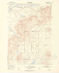
1950 Map of Fletcher
USGS Topo · Published 1953About this map
The Manistee River snakes across the northern edge of this landscape, carving through a region defined by extensive public lands and military training grounds. In the early 1950s, the Camp Grayling Military Reservation occupied a significant portion of the northern terrain, utilized by the Michigan National Guard. The map reveals a sparsely settled interior where the Fletcher Sch along Fletcher Road stands as a primary community landmark near the junction of Garfield State Forest and Norwich State Forest. Multiple family-named peaks such as Beecher Hill and Ester Hill rise above the wetlands and feeder streams like Cannon Creek and Big Devil Creek. The southern boundary follows the Kalkaska Co Missaukee Co line, where the terrain shifts toward the shores of Grass Lake, illustrating the transition from high glacial hills to low-lying basin drainage.
Find a feature on this map
22 named features on this map. Tap any name to fly to it.
Don’t see what you’re looking for? This feature index may not catch every label — zoom into the map to look around manually.
Map Details
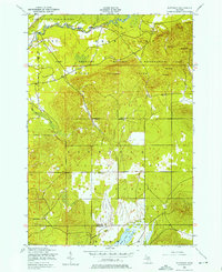
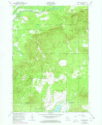
Editions of this 1950 Fletcher Map
4 editions found
Other maps of this area

1949 · Black Creek
USGS Topo · 1:24,000

1949 · Fletcher
USGS Topo · 1:62,500

1950 · Cote Dame Marie
USGS Topo · 1:24,000

1950 · Lake Margrethe
USGS Topo · 1:24,000

1954 · Traverse City
USGS Topo · 1:250,000

1956 · Kalkaska
USGS Topo · 1:62,500

1956 · Houghton Lake
USGS Topo · 1:62,500

1956 · Lake City
USGS Topo · 1:62,500

1958 · Traverse City
USGS Topo · 1:250,000

1983 · Cadillac
USGS Topo · 1:100,000