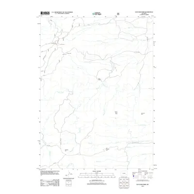
2012 Map of Fletcher Park
USGS Topo · Published 2012About this map
Hanks Sawmill and the gathering point at Camp Grace anchor this 2012 look at the high-elevation terrain near Fletcher Park. The landscape is defined by the intricate drainage systems of the N Laramie River, which winds through the southern half of the quadrangle. Steep elevation changes are highlighted by landmarks such as Deep Gulch and Van Ortwick Hill, while distinctive geological formations like Indian Head Rock and Chimney Rock provide fixed points in the wilderness.
Find a feature on this map
33 named features on this map. Tap any name to fly to it.
Don’t see what you’re looking for? This feature index may not catch every label — zoom into the map to look around manually.
Map Details
Editions of this 2012 Fletcher Park Map
This is the sole edition of this map. No revisions or reprints were ever made.
Other maps of this area

1943 · Esterbrook
USGS Topo · 1:62,500

1945 · Esterbrook
USGS Topo · 1:62,500

1950 · Cottonwood Falls
USGS Topo · 1:24,000

1951 · Cottonwood Falls
USGS Topo · 1:24,000

1953 · Hightower SW
USGS Topo · 1:24,000

1953 · Johnson Mountain
USGS Topo · 1:24,000

1954 · Torrington
USGS Topo · 1:250,000

1958 · Torrington
USGS Topo · 1:250,000

1968 · Davidson Flats
USGS Topo · 1:24,000
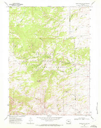
1968 · Reese Mountain
USGS Topo · 1:24,000