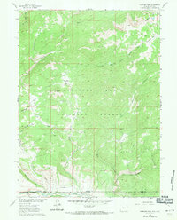
1961 Map of Fletcher Peak
USGS Topo · Published 1971About this map
The Sierra Madre range dominates this high-altitude landscape along the Continental Divide, where the waters of the Little Snake River system begin their journey. Recorded in 1961, the map captures a remote section of the Medicine Bow National Forest during a period of transition in land use, showing the presence of the Standard Mine and nearby Standard Park. The terrain is marked by a complex network of hydrological and resource management features, including the Hackmaster Ditch and a Gaging Sta located along the river. Settlement is nearly absent in this high-country environment, save for the Rasmussen Ranch and a series of primitive transport routes. A Stock Driveway and various Jeep Trails wind through the drainages of Roaring Fork and Battle Creek, illustrating the seasonal movement of livestock and early motorized access to the peaks surrounding Fletcher Peak.
Find a feature on this map
23 named features on this map. Tap any name to fly to it.
Don’t see what you’re looking for? This feature index may not catch every label — zoom into the map to look around manually.
Map Details
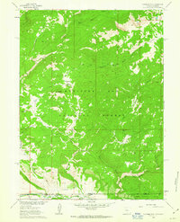
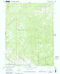
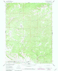
Editions of this 1961 Fletcher Peak Map
4 editions found
Other maps of this area

1911 · Hahns Peak
USGS Topo · 1:125,000

1913 · Hahns Peak
USGS Topo · 1:125,000

1932 · Savery
USGS Topo · 1:96,000

1939 · Saratoga
USGS Topo · 1:125,000

1940 · Savery
USGS Topo · 1:125,000

1954 · Rawlins
USGS Topo · 1:250,000

1954 · Craig
USGS Topo · 1:250,000

1957 · Craig
USGS Topo · 1:250,000

1958 · Rawlins
USGS Topo · 1:250,000

1958 · Craig
USGS Topo · 1:250,000