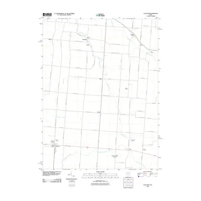
2010 Map of Fletcher
USGS Topo · Published 2010About this map
Leatherwood Creek and its many branches define the topography of this rural landscape in Miami and Shelby Counties. The small settlements of Fletcher, Conover, and Lena are clustered in the southern portion of the sheet, where the Fletcher Post Office and Conover Post Office serve as community anchors. The map reveals a high density of small family and community burial grounds, illustrating the deep-rooted genealogical history of the area.
Find a feature on this map
49 named features on this map. Tap any name to fly to it.
Don’t see what you’re looking for? This feature index may not catch every label — zoom into the map to look around manually.
Map Details
Editions of this 2010 Fletcher Map
This is the sole edition of this map. No revisions or reprints were ever made.
Other maps of this area

1913 · Bellefontaine
USGS Topo · 1:48,000

1913 · Sidney
USGS Topo · 1:62,500

1914 · Troy
USGS Topo · 1:62,500

1914 · St. Paris
USGS Topo · 1:62,500

1915 · Bellefontaine
USGS Topo · 1:62,500

1916 · St. Paris
USGS Topo · 1:62,500

1944 · Sidney
USGS Topo · 1:62,500

1944 · St. Paris
USGS Topo · 1:62,500

1944 · Troy
USGS Topo · 1:62,500

1944 · Bellefontaine
USGS Topo · 1:62,500