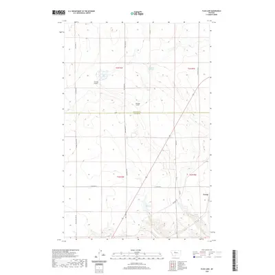
2020 Map of Flick Lake
USGS Topo · Published 2020About this map
Portage sits at the eastern edge of this agricultural and ranching landscape, which straddles the boundary between Chouteau Co and Cascade Co. The area is defined by a network of drainage systems, most notably Huntley Coulee and Portage Coulee, which cut through the high plains. Water resources are vital in this environment, represented by landmarks such as Flick Lake, Twenty-eight Mile Spring, and the Dick Golie Fish Pond. These features highlight the importance of isolated water sources for livestock and local land management.
Find a feature on this map
20 named features on this map. Tap any name to fly to it.
Don’t see what you’re looking for? This feature index may not catch every label — zoom into the map to look around manually.
Map Details
Editions of this 2020 Flick Lake Map
This is the sole edition of this map. No revisions or reprints were ever made.
Other maps of this area

1886 · Great Falls
USGS Topo · 1:250,000

1948 · Portage
USGS Topo · 1:62,500

1949 · Portage
USGS Topo · 1:62,500

1949 · Timber Coulee
USGS Topo · 1:62,500

1949 · Great Falls
USGS Topo · 1:62,500

1950 · Timber Coulee
USGS Topo · 1:62,500

1950 · Dent Bridge
USGS Topo · 1:62,500

1951 · Great Falls
USGS Topo · 1:62,500

1954 · Great Falls
USGS Topo · 1:250,000

1957 · Great Falls
USGS Topo · 1:250,000