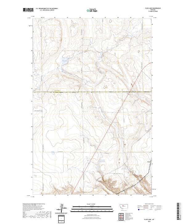
2024 Map of Flick Lake
USGS Topo · Published 2024About this map
The boundary line between Chouteau and Cascade Counties bisects this high plains landscape, where the seasonal waters of Flick Lake and the Twentyeight Mile Spring characterize the local geography. The terrain is defined by deep incisions in the earth, most notably Huntley Coulee and the winding Portage Coulee. These features influenced the development of the rural road network, which includes historic thoroughfares like Dent Bridge Rd and Whitehorn Ln.
Find a feature on this map
21 named features on this map. Tap any name to fly to it.
Don’t see what you’re looking for? This feature index may not catch every label — zoom into the map to look around manually.
Map Details
Editions of this 2024 Flick Lake Map
This is the sole edition of this map. No revisions or reprints were ever made.
Other maps of this area

1886 · Great Falls
USGS Topo · 1:250,000

1948 · Portage
USGS Topo · 1:62,500

1949 · Portage
USGS Topo · 1:62,500

1949 · Timber Coulee
USGS Topo · 1:62,500

1949 · Great Falls
USGS Topo · 1:62,500

1950 · Timber Coulee
USGS Topo · 1:62,500

1950 · Dent Bridge
USGS Topo · 1:62,500

1951 · Great Falls
USGS Topo · 1:62,500

1954 · Great Falls
USGS Topo · 1:250,000

1957 · Great Falls
USGS Topo · 1:250,000