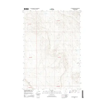
2015 Map of Flitner Reservoir
USGS Topo · Published 2015About this map
Blue Ridge dominates the western landscape of this Big Horn County region, providing a high-elevation backdrop for the agricultural and water management systems in the basin below. The 2015 survey illustrates the critical role of irrigation and storage in this arid environment, centered around the Flitner Reservoir and the smaller Walters Reservoir to the east. These man-made features, alongside the Anita Ditch, demonstrate how water is diverted from seasonal drainages like Alkali Cr and Springs Cr to support local ranching operations. The road network is sparse, defined primarily by Wy-31 and private access ways such as Hamilton Ranch Ln, reflecting a landscape of large landholdings and isolated homesteads characteristic of modern Wyoming ranching territory.
Find a feature on this map
14 named features on this map. Tap any name to fly to it.
Don’t see what you’re looking for? This feature index may not catch every label — zoom into the map to look around manually.
Map Details
Editions of this 2015 Flitner Reservoir Map
This is the sole edition of this map. No revisions or reprints were ever made.
Other maps of this area

1955 · Sheridan
USGS Topo · 1:250,000

1958 · Sheridan
USGS Topo · 1:250,000

1960 · White Sulphur Spring
USGS Topo · 1:24,000

1960 · Flitner Reservoir
USGS Topo · 1:24,000

1960 · Hyatt Ranch
USGS Topo · 1:24,000

1960 · Manderson NE
USGS Topo · 1:24,000
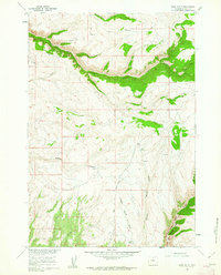
1960 · Bush Butte
USGS Topo · 1:24,000

1960 · Manderson SE
USGS Topo · 1:24,000

1962 · Sheridan
USGS Topo · 1:250,000
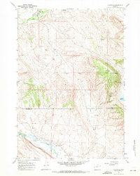
1967 · Hyattville
USGS Topo · 1:24,000